Oxford County
View/Download the available community, zoning and subdivision maps by selecting a municipality.
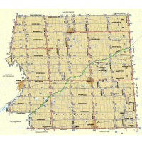
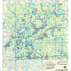
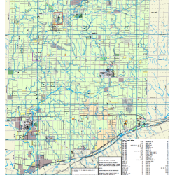
Rural Address & Village Map
County Wide & Village details
28” x 40” PDF (4.8 mb)
Urban Address Map
Covers Ingersoll, Tillsonburg & Woodstock
27” x 39” PDF (135 mb)
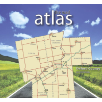
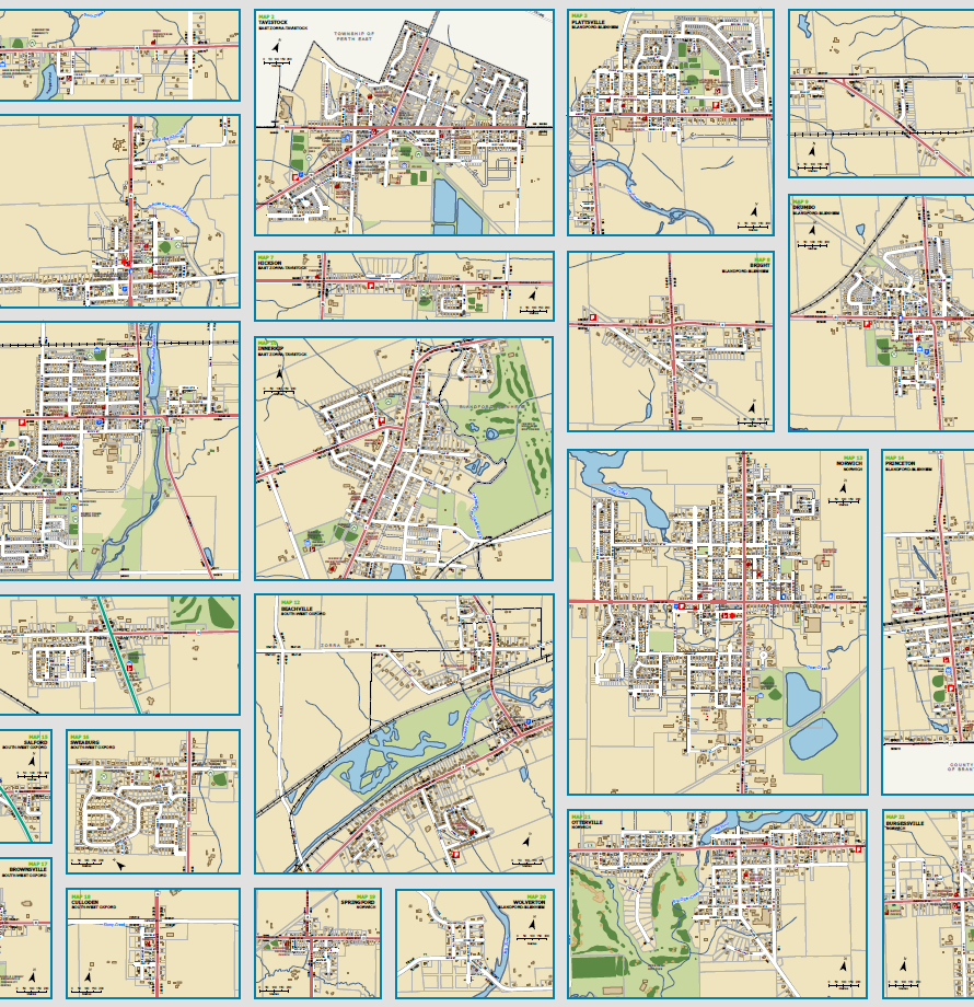
Road Atlas
5th Edition
An 84-page map book covering the entire county 8.5” X 11” PDF (29 mb)
Blandford-Blenheim
Community
Address ranges, base information & village insets. 24" X 36" PDF
Zoning
Consolidated from individual zoning by-law. 48" x 36" PDF
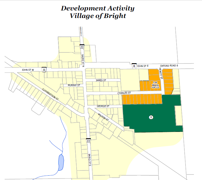
Development Activity
Bright
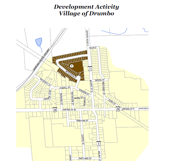
Development Activity
Drumbo
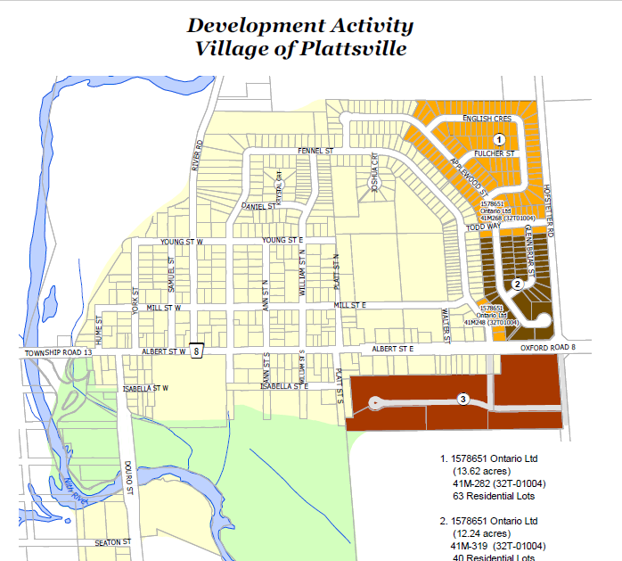
Development Activity
Plattsville
Norwich
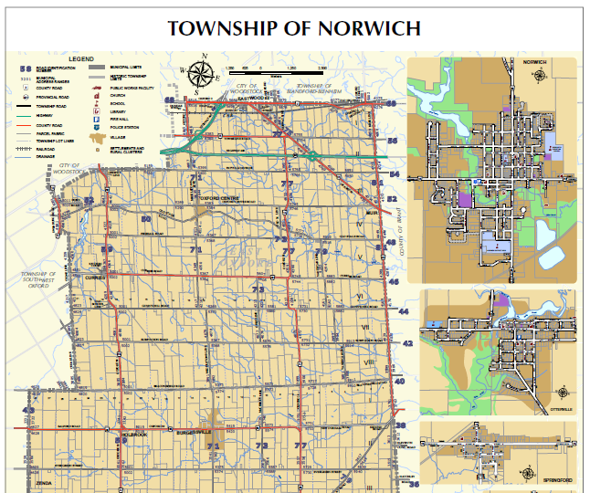
Community
Address ranges, base information & village insets. 24" X 36" PDF
Zoning
Consolidated from individual zoning by-law. 48" x 36" PDF
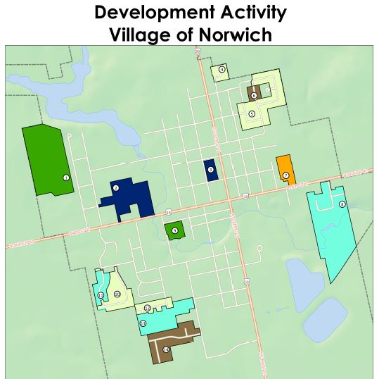
Development Activity
Town of Norwich
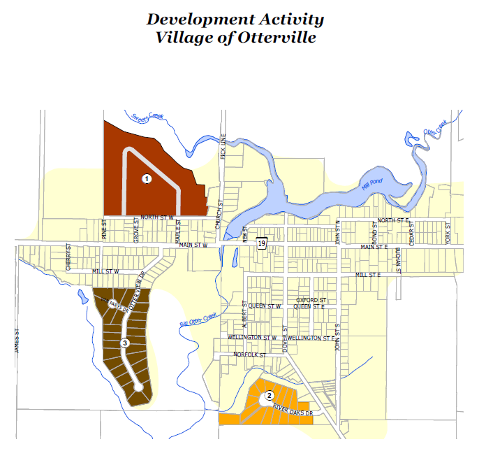
Development Activity
Otterville
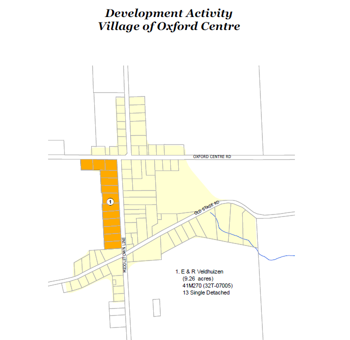
Development Activity
Oxford Centre
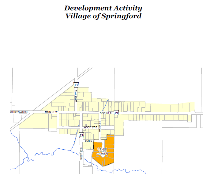
Development Activity
Springford
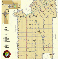
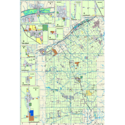
Tillsonburg
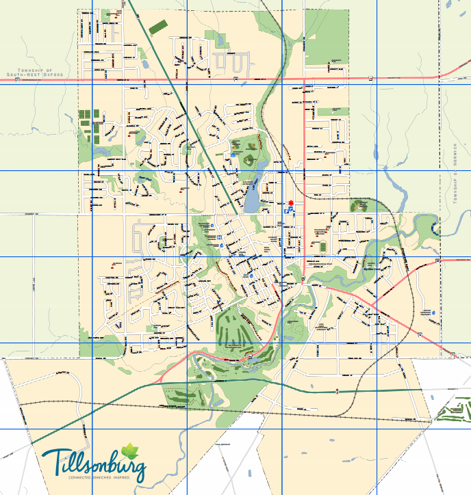
Community
A basic map showing roads, POI, Trails etc. 8.5" X 11" PDF
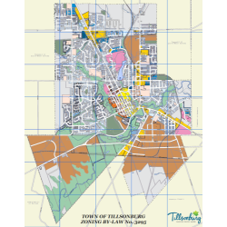
Zoning
Consolidated from individual zoning by-law. 48" x 36" PDF
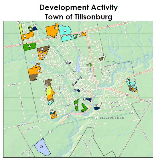
Development Activity
South-West Oxford
Community
Address ranges, base information & village insets. 24" X 36" PDF
Zoning
Consolidated from individual zoning by-law. 48" x 36" PDF
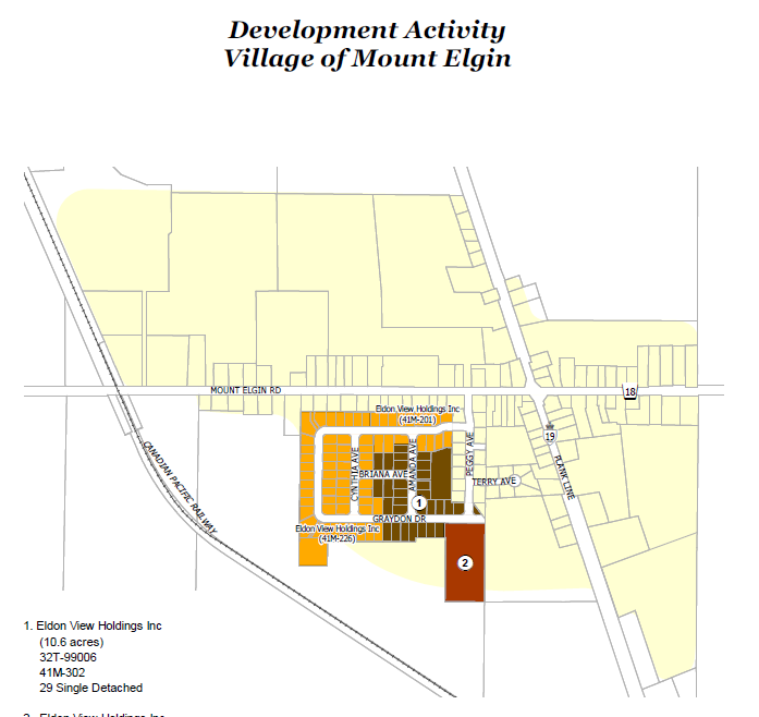
Development Activity
Mount Elgin
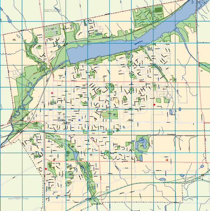
Ingersoll
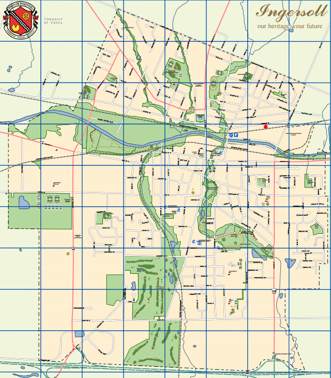
Community
A basic map showing roads, POI, Trails etc. 8.5" X 11" PDF
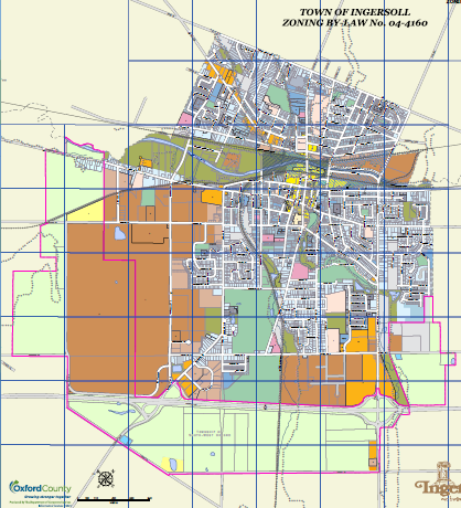
Zoning
Consolidated from individual zoning by-laws. 48" x 36" PDF
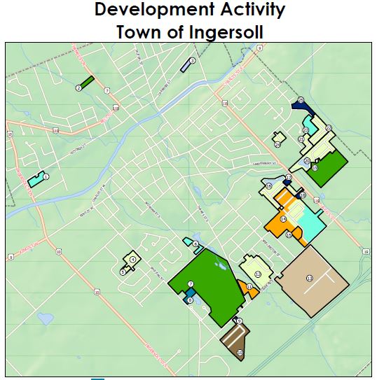
Development Activity
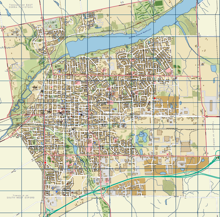
Woodstock
Community
A basic map showing roads, POI, Trails etc. 8.5" X 11" PDF
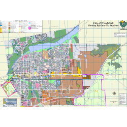
Zoning
Consolidated from individual zoning by-laws. 48" x 36" PDF
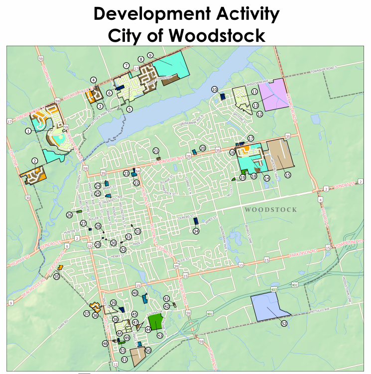
Development Activity
East-Zorra Tavistock
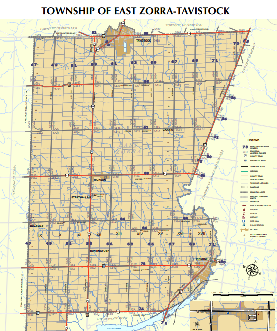
Community
Address ranges, base information & village insets. 24" X 36" PDF
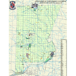
Zoning
Consolidated from individual zoning by-law. 48" x 36" PDF
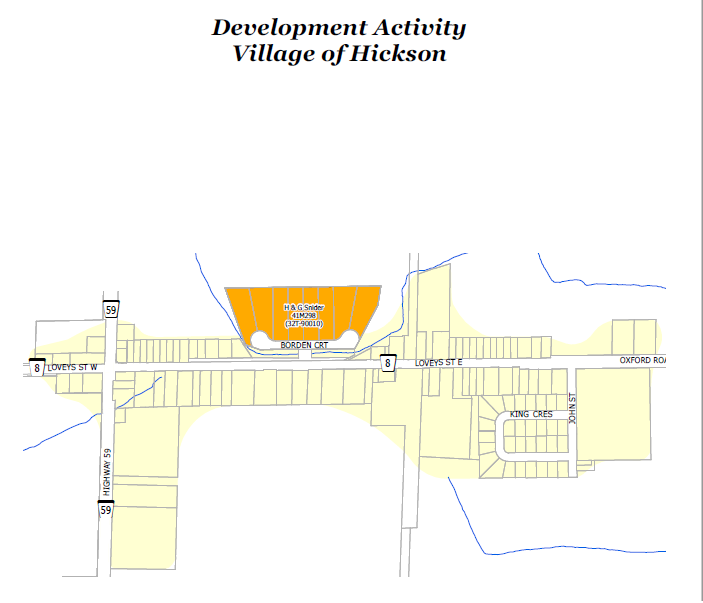
Development Activity
Hickson
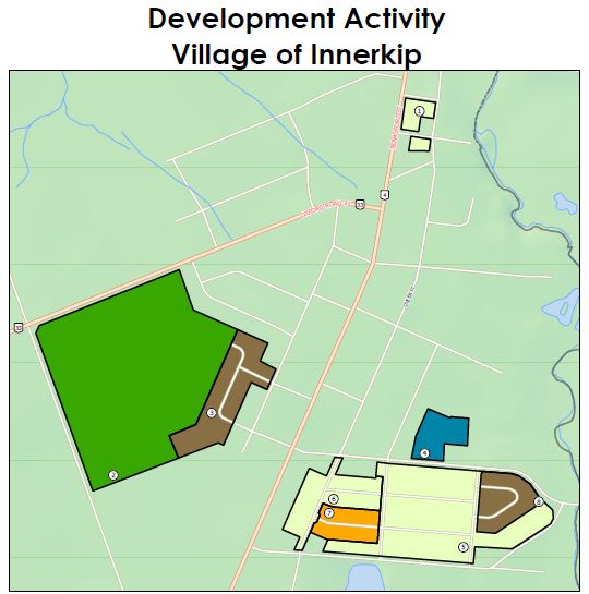
Development Activity
Innerkip
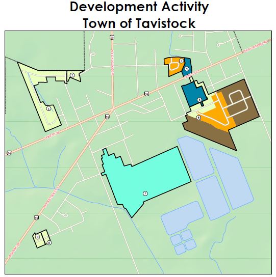
Development Activity
Tavistock
Township of Zorra
Community
Address ranges and base information & village insets. 24" X 36" PDF
Zoning
Consolidated from individual zoning by-law. 48" x 36" PDF
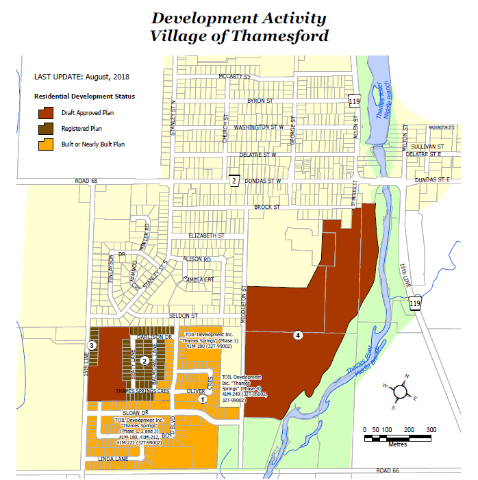
Development activity
Thamesford
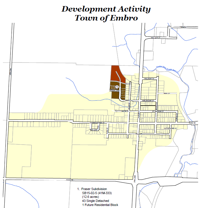
Development activity
Embro